
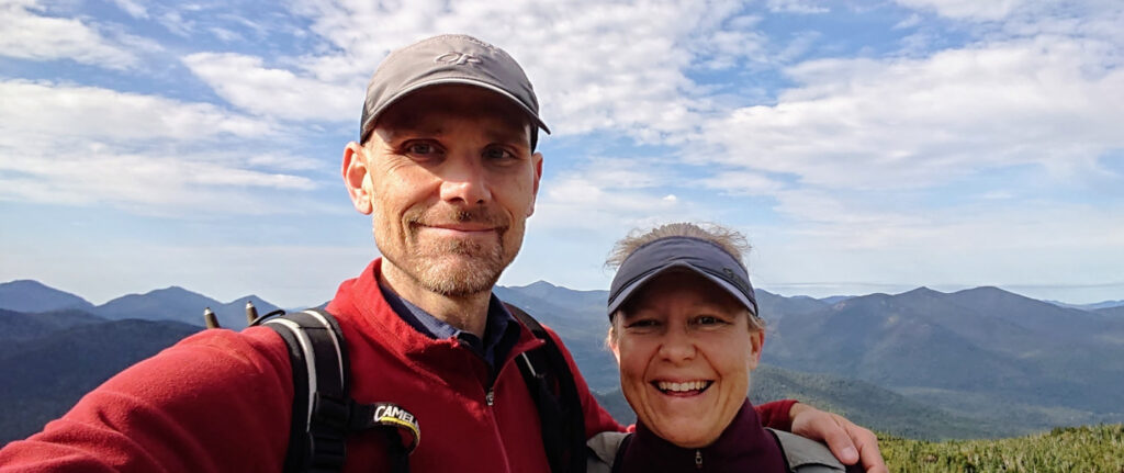
Going into the trip, I had this stretch flagged as something to be very careful going into. From Horca to El Rito (over 120 miles and likely three days) there would be no resupply for food along with very limited water. Here’s what happened!
[Warning, very long read.]
Platoro, CO to a Wild Camp (~15 miles S of Horca, CO)
Overall, it was a nice day that started damp but not raining. We had spent the night in a toasty cabin so the bikes and gear were dry. We’d been able to get a bit of resupply the night before, but were counting on a bigger resupply in Horca, down the road about twenty miles.
The route had us continuing down the beautiful valley carved out by the Conejos River. Along the way we found mostly good roads that had tolerated the recent rain fairly well. It definitely trended downhill but the road had plenty of climbs so it was still a bit of work and required our attention.

Along the way there were dozens of pull offs where trout fisherspeople could access the river. Clearly a valley for the anglers.
At one point, we saw a phalanx of construction vehicles slowly heading our way. They were regrading the entire width of the road with three behemoth graders running in parallel. We had to slip over a lumpy berm between them and then we had a soft, fresh mass of dirt and gravel to ride on. In a few days, car and truck traffic would have packed it down nicely, but we were the first to tread on this virgin compound and it wasn’t great (to say the least). Thankfully we suffered through for about a half hour before we reached the starting point of their workday.

We pedaled leisurely when possible, aggressively and nervously when necessary.

By lunchtime we’d made it to The Red Bear in Horca, where we had a lunch of fries and onion rings, but more importantly were able to pick up some supplies for the next long stretch. Prepacked/cooked pasta and rice meals, energy bars, fresh ibuprofen for Liz, cheese sticks, gummy bears, electrolyte packages, and more that I can’t remember. One last top off of our water reservoirs, a quick charge of our battery packs and we were on the road again!
Immediately we joined the state highway to climb La Manga Pass, which turned out to be a beast due to truck traffic and pretty high grades. We were glad to be done with it!
We went down the other side with a fast, windy descent and then meandered a bit, still on the state highway. We really wanted to get onto a dirt road that would take us to the New Mexico border for the day.

And we did, descending down that dirt road that our maps had warned would be impassable if there had been any recent rain. Which apparently means less than twelve hours or so if you do the math.
We stopped and chatted for a bit with a local rancher in a big pickup truck named Michael. Not sure what the rancher’s name was. He had some stories to tell about life in the mountains, like riding an old 10-speed bike up La Manga pass to get to his construction job, as a younger man. He seemed interested in the things around us that we found beautiful, which he considered common and simple. We all agreed that travel made one appreciate the comforts of home.
The day was waning, as were our energy levels, so we found a lovely plateau just shy of New Mexico that had previously been used for camping and parked ourselves for the evening.

Dinner had us consuming some of the heavier items we’d been hauling since the Red Bear. An early night with storms rumbling around turned into a heavy, lengthy downpour that had our tent violently whipping around. I was regretting not double checking all of my tent stakes, but we were fine and stayed dry. It rained lightly until around 3am and my brain was working furiously, worried about what the rain would do to our route. This would be a common theme for the rest of the trip, with restless nights fretting over what could.
A Wild Camp to Upper Lagunitas Campground
We woke up and surveyed the damage from the storm. Aside from some mud-spattered bikes and a wet tent, all was good.
Or so we thought.
It turns out that we were right in the daily migration path of several herds of bovine. Some wanted to go up, others wanted to go down, but either way we were really cramping their style. No amount of negotiation on our part could console them so we just performed our morning rituals under their watchful eyes and occasional mooing.
We packed up, broke fast with our usual half-caffeine tab and packet of instant oatmeal apiece. Then we were on the road for about 200ft before we stopped and chatted with another friendly local. He asked, “You heading up?” To which we replied “Yep!” And then he dusted off a look he reserved for only true imbeciles: “Pretty wet up there.” Yep.

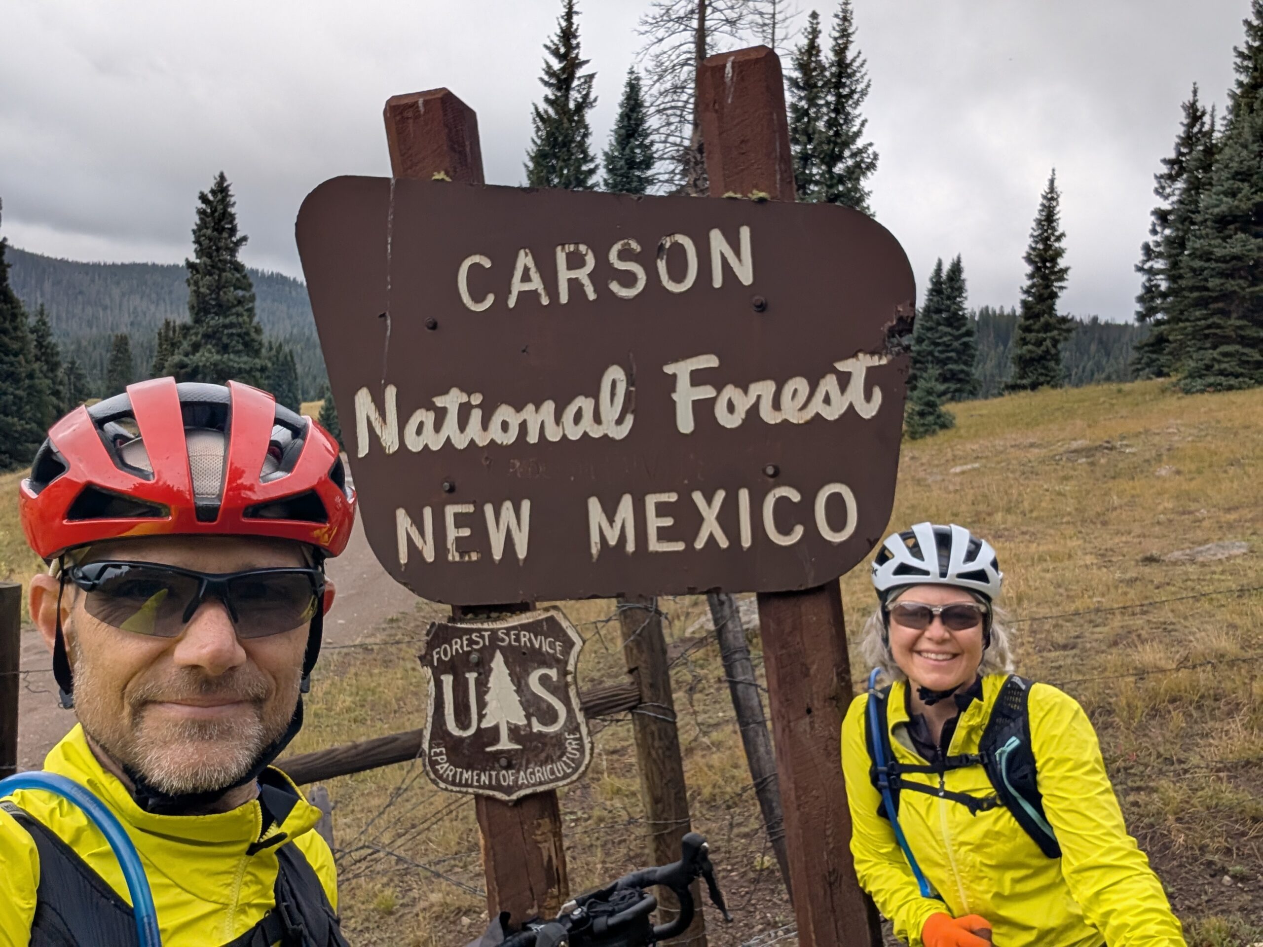
We crossed into New Mexico and found a small stream to replenish our water supply. Then we continued ascending on muddy but rideable roads. We were feeling pretty good with cool temps and no active precipitation!
Unfortunately, we soon transitioned to a strata of soil or road building technique that brought out a terrifying, mythical beast known as “peanut butter mud.” Simply rolling the bikes along the road caused the mud to adhere and build up so thickly that eventually every crevice of the drivetrain was packed solid and the wheels would no longer even spin. Attempts to clean, after much experimenting, were somewhat successful with random sticks and other bits of debris along with cupfuls of muddy puddle water.

The general consensus on PB mud is that you just have to wait it out, which we did. We were particularly careful of flat, wet stretches of road where the mud was the most insipid.
The sun came out and so did the (always dry) wind. Again we were feeling pretty good as the road started to firm up. A super-enthusiastic and friendly guy on a 4×4 came up behind us and we chatted for a bit. He was staying in a trailer awhile back, scouting for elk hunting season which would start next week. He lamented the mud as well and said he thought what we were doing was great. Thanks guy! Then he looked back and said, “but let’s keep an eye on that weather coming in behind me, yeah?”
Sure enough, rain in the distance was quickly bearing down on us. Able to see for miles in every direction, we were doing quick calculations wondering if we’d get hit… Yes, yes we would.
I found a copse of pine trees and we quickly threw up the tent just as it started to sprinkle. It wasn’t a downpour but it was legit sleet and rain for fifteen minutes so we were glad to have the shelter.
Back the tent goes into our packs and we’re ready to roll after a forty-five minute delay, but sure enough the rain had reawakened the PB monster!

We tried everything, but the best we could do was about 100 ft walking the bikes, followed by five minutes cleaning them off. Rinse (I wish) and repeat. The only real solution was to wait it out, hoping the wind would dry things out so we could make forward progress.
Our 4×4 buddy came back the other way and said the good news was that the mud was “only for another few miles!” Thanks guy!
Finally, we started to make progress as lunchtime approached, but we’d done less than five miles. Our plan for the day would have to be reshaped dramatically! Our goal had been 30-40 miles but we would be fortunate to make the fifteen miles to Lagunitas Campground, along the CDT.
We did finally start to make progress again only to be abruptly thwarted by a “road” that was little more than a wall of rocks at about 12% grade for what seemed like miles. It was all we could do to push the bikes up, one rocky slab at a time.

Eventually Liz was so tired that I would work in shifts, pushing my bike up and then going back to push Liz’s bike.
Finally we reached the top, which was quite dramatic. Unfortunately we weren’t in much of a mood to celebrate.

But we were on top of the world and the riding was actually good, for awhile!

I will yadda yadda a bit, but the descent down to the campgrounds over the next 8-10 miles was pretty rugged and kept our pace slow. Liz was a trooper and when I looked back, I was amazed to see her just behind me inching down the ragged bumpy rocky roads.

As we approached the campground we crossed the trickle of Lagunitas Creek, which, despite our fatigue, we used to replenish our water. We pulled into the campground at around 6pm and quickly performed all of the necessary rituals and then collapsed into our tent.
It was a bad day by any standard but it was over, thank god.
Upper Lagunitas Campground to Hopewell Lake Campground
Today would be a better day. The adjusted plan had us reaching Hopewell Lake Campground, which we did with no major issues except for a lot of climbing (3000ft), heat and hard work.

Something was plunking in the lake all night, and some furry friend had carefully removed some empty zip lock bags from my bike bag and placed them on the ground. Thanks guy!

The road wasn’t all A+ but enough was great that we were feeling somewhat relieved, bordering on optimistic. We stopped for water, taking the 30-40 minutes to filter and maxing our reserves.

Soon after this stop, we finally turned off FR87 for good, which we’d been on since the New Mexico border. Good riddance! We turned our sights southward along FR133 to a US highway and one final long climb to our campground. Again, the road was mixed with some good and some bad. We made steady progress, though, for which we were thankful.

We ended the day with a long, paved climb of 1200 ft on US 64. It took about an hour, but the few cars and trucks (no semis) were uniformly good to us and we completed it without walking at all. Near the top, we nearly yelled out for joy when we noticed the universal symbol for “potable water” on the sign for the campground!
Our elation was short-lived. We selected our site and started setting up. For my 49th birthday, I was looking forward to using running water to wash my face for the first time in days. Sadly, it was not to be. The pump’s done run dry, so to speak.
Liz was trying to get water out of the spigot when a prickly camp host came around and asked “just what she thought she was doing?” “Tryna get water, yeah?” Then he gave her a look, reserved only for true imbeciles, and said, “there’s no water at Hopewell Lake! It says so all over the Internet if you’d have bothered to check!”
We weren’t completely out of water, but we couldn’t help but feel like Pee-wee when he found out that “there’s no basement at the Alamo!” He did take pity on us and gave us each two 16oz bottles of water, which we would carefully ration for the better part of the next day. We were very thankful!
You might be thinking to yourself, why don’t you just pop down to that lake and filter some water? The answer is that we probably could have, but likely at the expense of our filter, due to the lake being somewhat… nasty (that’s a technical term). We try to filter clear running water, whenever possible.
Otherwise, a nice evening camping and no rain or other disturbances. It was a restless night of not much sleep, as our brains passively fired on all cylinders trying to work out a solution for the next day.
Hopewell Lake Campground to Abiquiu, NM
We had big plans for today: fifty-five miles and still over 2000ft of climbing. If successful, it would be our longest day of the trip; it was wildly ambitious and naively optimistic. The only saving grace was the sheer amount of descending we would do, starting at nearly 10000ft and ending below 6000ft. Nonetheless, the promise of a bed and the end of our tour was tantalizing and motivating.
We started navigating some crummy roads that had Liz in a bad mood right quick. We were doing about 5mph average, so if conditions stayed the same, we would be out for a very long day.
Things improved when we were caught by a solo rider from Grenoble, France named Sarah. She had seen us pass by from her campsite and was excited to chat with someone — anyone — so she worked to catch up with us. It was a very nice chat and then she forged ahead and we never saw her again. Bon voyages, Sarah!

We continued downhill, following a road named Spring Creek Rd or something. Sadly, when we crossed the creek, it done run dry. :sad trombone:

We plugged along and finally came out of our first long stretch of gravel into a paved road through Cañon Plaza, which had nothing whatsoever to offer us in our desicated state. Thankfully the next town down, Vallecitos, had a community center with running water and very fast WiFi. We stopped for an hour or so, eating some of the last of our food (cold soaking a backpacking meal) and chatting with the locals who were also getting water and using the wifi to make phone calls etc.. This town has no cell coverage, although they hope to have a tower installed in a few years.

It was 1:30pm and we still had over thirty miles to cover, including a sixteen mile gravel segment with a pretty solid climb to boot.
What happened next is that things just worked out perfectly when we needed it most! The forest road was glorious, smooth gravel with relatively low gradients. The weather was nice and we had shade to ride in. We topped our climb and then enjoyed ten miles of the best descending of our entire trip. Easy, breezy, and we were in El Rito before we knew it: 3:30pm or so.
A small restaurant that we’d been hoping to eat at was closed for the holiday weekend (it was Friday before Labor Day) but a small convenience store was open and we bought and ate and drank our fill.

From El Rito to Abiquiui was a paved state highway that dropped almost 2000 ft in ten miles. We absolutely flew.


Towards the end, we made a westerly turn into the wind, along the shoulder of a major US highway But with only four miles left we were flying high. The end of our ride, our route, our adventure was in sight!
We arrived at the Abiquiu Inn, a beautiful country hotel that welcomed us warmly. They didn’t flinch at all about the bikes and we enjoyed listening to an outdoor concert while we showered, laundered all of our clothes (free!) and relaxed.
Hardly even comprehending that we had completed our route, we enjoyed a lovely late, celebratory dinner at the hotel restaurant, which was absolutely delicious. Then we collapsed into our bed and slept the sleep of the privileged who don’t have to worry about where their next water and food will come from.
Leave a Reply to GailCancel reply