
I was able to edit a short video of today’s ride, if you’re interested.
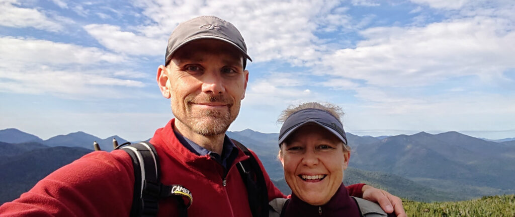
Today was a brutal day for us.
It started out well — our hotelier had a beautiful breakfast laid out and good coffee at the ready. We were on the road by 7:30.

First a little meandering and then a brief descent to a small river crossing and then we were climbing the Mendelpass even if we hadn’t “officially” hit the start. Meandering through Fondo and Ronzone, our route wasn’t the longest or most difficult to start but it was a good 1:15 of climbing.

Unfortunately, somewhere along the way our wires got crossed, Harald and I got separated and each ended up climbing the pass in two different ways. He took the main road (which wasn’t busy at that time of day) whereas I took a signed bicycle route that had a bit of extra climbing (due to dropping down into a small village called Ruffré). All good, we both made it to the top so it counts! ✅

The descent into Bolzano was spectacular. The road was recently rebuilt, smooth asphalt and nice wide switchbacks. As usual, I took my time but we met up at the bottom and stopped at a supermarket for some much-needed resupply.
From memory, here’s what I bought:
- Croissant
- Small seeded roll
- Six pack of tortillas (score!!)
- Two packs of Haribo gummies (peach and sour mix)
- A pack of green olives stuffed with almonds, in brine (drank that already)
- A cashew-cranberry snack mix
- A small pouch of artichoke-green olive paste
Pretty good haul, if I do say so myself!
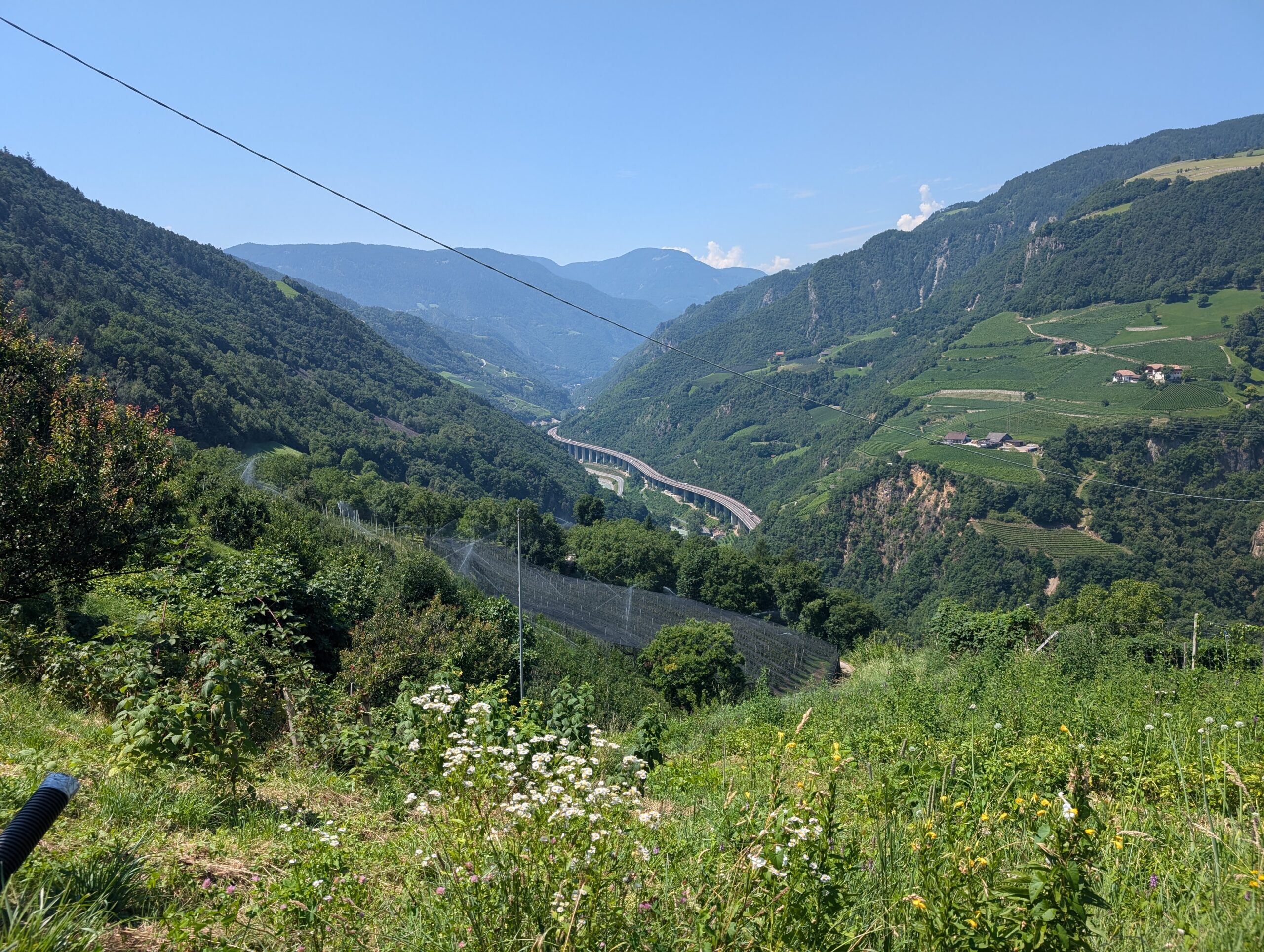
Biking through Bolzano was great. We entered on a paved rail trail that was largely downhill, then we biked along a park corridor that follows the Adige River, which we’d be alongside for an hour or two.
We started heading up the valley that heads to the Brenner Pass, which is a good way to get to points north (Austria). All good, there’s a sweet bike route that parallels the autostrada, the river and the smaller local road.
However, then things started to go a bit south. The route we were supposed to take to begin our climb out of the valley had an uphill stretch through a busy tunnel with no bike facility. Not fun or safe. So we decided to keep going in the valley floor with the bike path and find another way up. A bit of scouting and we found an old road closed to thru car traffic that had a truly difficult first 15 minutes with 12-14% grade and blazing sun. We climbed for what seemed like forever. At times we would dismount and walk the bikes. We were never quite sure that the road would continue around the next bend, but we eventually rejoined our planned route and breathed a sigh of relief.
We found a spot for a late lunch along a bike trail with a mercifully cold water spigot.
Then we began to climb again, switching between two parallel valleys. Unfortunately we lost much of the altitude we gained dropping into the next valley so it was a bit frustrating. Also the path was in mixed to poor condition with random heavy equipment blocking our way.
Did I mention the heat? In lower altitudes it was 90F or more.

Then we started our climb to the second pass of the day, a smaller one named Panidersattel. With temperatures so high, it was still a major effort. Thankfully the breeze towards the top cooled us a bit, along with the short descent into Ortisei.
It was here that we accepted that we were too exhausted to summit even one of the two remaining passes on our aspirational route. Instead we booked a hotel an hour or two up the road. We’d get a head start on the first climb for tomorrow but would have time to recuperate and enjoy a nice hotel in a fancy Alpine village known as Selva di Val Gardena.

The trip up the valley was a bit more difficult than we expected due to inaccurate maps and some heat-addled navigators just doing some stupid stuff. But eventually we made it.
94km and 2400m of climbing and the heat, my god the heat!
Then a beer was had.
